The Leap is known to date from at least 1327.
The Place Names of Gloucestershire indicates that Leap or ‘Lypeat’ meant leaping gate, leap, jumping place or steep declivity for deer.
The valley belongs to South Gloucestershire Council but has a long recorded history associated with Baugh Farm which is thought to date from 1571.
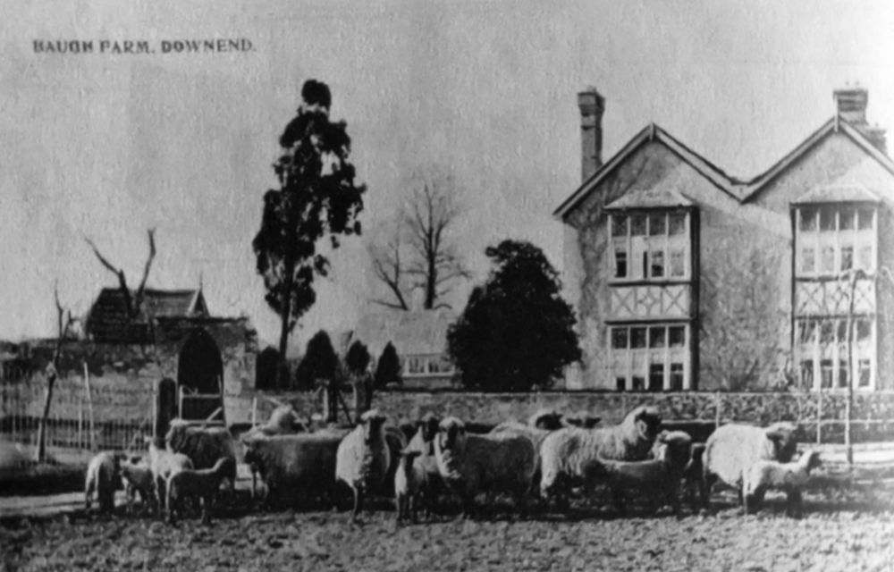
Photograph courtesy of Downend Local History Society publication ‘More Mangotsfield History’
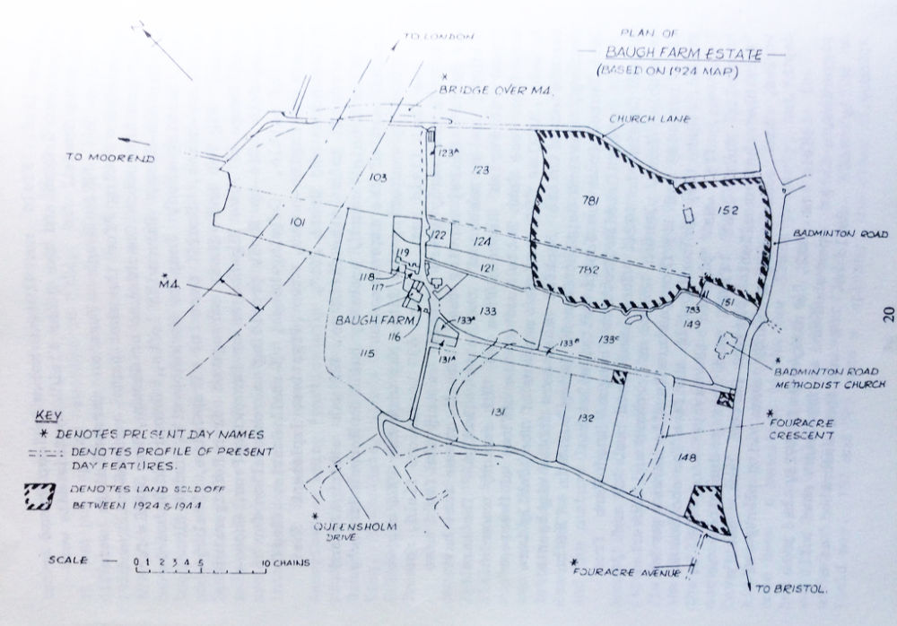
Baugh Farm was originally a longhouse made up of a hall, dairy and byre with family and animals living under one roof. For much of it’s history it was known as Bath Farm. The cross wing was added in the early 18th Century and at this time Edmund and Issac Baugh, Bristol Merchants were associated with the property. In the late 19th Century alterations turned it from farmhouse to country gentleman residence. From 1920 the fields around the farm were used for market gardening until sold in 1944 to Downend Estates who built the houses of Bromley Heath. In the 1950s the M4 went through the land followed by the Avon Ring Road. The last fields were sold off the David Wilson Estates who built houses during the 1980s, and more recently to the developers of Bury Hill View.
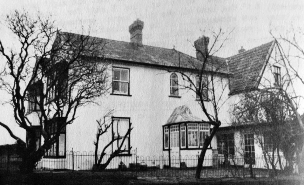
Photograph courtesy of Downend Local History Society publication ‘More Mangotsfield History’

Photograph courtesy of Downend Local History Society publication ‘More Mangotsfield History‘
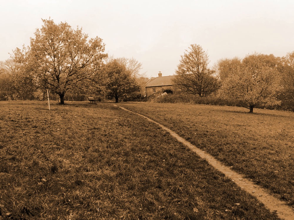
The northern end of the Valley and ‘kick-about’ area would have been the part mentioned in the 1844 Land Usage Tithes as part of a pasture called Gosty Leaze.
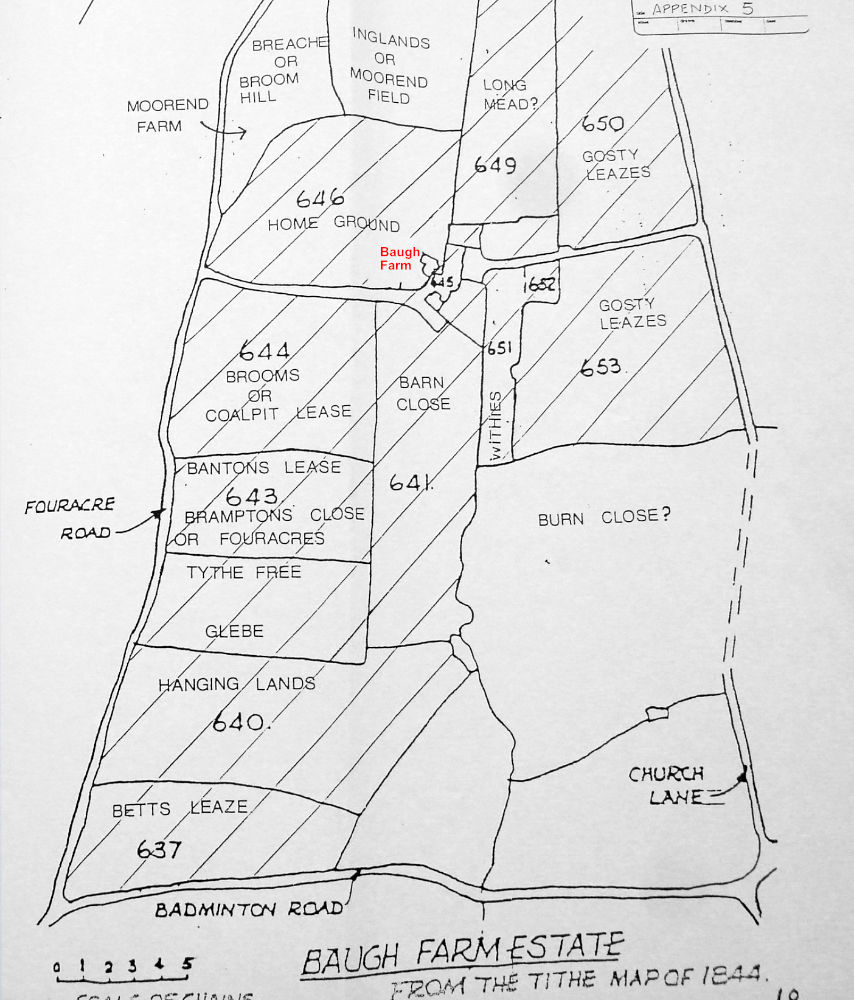
In 1924 it was a rick yard and in 1944 had 9 piggeries and sheds on it.
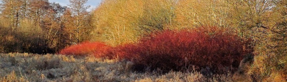
The wetland was referred to as a Withybed suggesting that willow was grown there.
There is some evidence that in the past there was a water mill with mill pond.
Today, the valley is managed with the help of the Friends of Leap Valley for the benefit of wildlife and the community.

You must be logged in to post a comment.